Google Built a Deepfake Tool for Maps
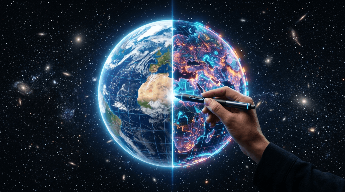
The thing about satellite imagery is that people trust it.
When a photo of a bomb crater appears on the news, nobody asks "is that AI-generated?" They ask "where is that?" and "who did it?" The assumption that satellite photos show real geography is baked into journalism, disaster response, humanitarian aid, and military intelligence.
Google Earth just spent a day proving that assumption is dangerously fragile.
On July 31, 2026, Google launched an AI feature that let anyone edit satellite, aerial, and 3D imagery of Google Earth using nothing but text prompts. By the end of the same day, the feature was dead — pulled after researchers demonstrated exactly how convincing a fake satellite image could look when the world's most trusted mapping platform generates it.
The tool used the same Nano Banana 2 image generation model that powers other Google AI image features. Enter "refugee camp near the Mexican border" or "bomb crater outside a hospital in Gaza" and the system would rewrite real satellite photos to match. Not a mockup. Not a conceptual illustration. A believable AI-generated version of a real location that could pass for the real thing.
The backlash that killed it in a day
Henk van Ess, a researcher at Digital Digging, was among the first to demonstrate the problem publicly. He generated an image of refugees near the Mexican border superimposed on real satellite data and an image showing a bomb crater near a hospital in Gaza. Both looked like authentic satellite photos. Both would have been indistinguishable from real imagery in a news story.
"The problem with putting an AI image generator in Google Earth," wrote The Verge, "is it's easier than ever to deepfake satellite images." The Ars Technica headline was blunter: "Google Earth risked ruin."
Ars's Jeremy Hsu reported that Google engineers had been aware of the potential for misuse during development but launched the feature anyway. The company's SynthID watermarking system was supposed to mark generated images as AI-produced, but critics pointed out that watermarks are trivially cropped, ignored, or stripped — and a user sharing a satellite photo on social media is not going to check for invisible markers before resharing.
"What on earth is Google doing?" became the unofficial refrain of the day.
Why SynthID wasn't enough
Google's defense was that SynthID watermarks would identify AI-generated images. But that argument misses the point in a specific and revealing way.
Watermarks work when the viewer is looking for them. Satellite imagery is not consumed in a context where viewers look for watermarks. A news outlet publishing a satellite photo of a disaster zone is not going to reject it because it has a technical metadata tag. A government agency assessing border activity is not going to check for AI markers before acting.
The gap between "technically detectable" and "practically harmless" is where this kind of disinformation lives. Google's own AI principles prohibit creating tools that could enable "misinformation or disinformation at scale." The Earth feature sailed past that principle because the safeguards were technical rather than operational.
What this says about Google's AI launch strategy
The Google Earth debacle is the latest in a pattern: Google launches an AI feature with enormous potential for harm, the internet immediately demonstrates that harm, and Google backs down under public pressure. The 2024 Gemini image generation controversy. The various AI search hallucination fiascos. And now, the Earth deepfake tool.
Each time, the cycle is the same. A product team builds something technically impressive and imaginatively limited. The potential for misuse is theoretically acknowledged but practically ignored. The feature launches. The internet breaks it within hours. Google retreats.
The speed of this particular cycle — under 24 hours from launch to retraction — suggests that either Google's internal review process missed something obvious, or that the company is willing to launch features whose risks it understands, hoping the backlash will be manageable before it happens.
The deeper problem
There is no shortage of AI image generators that can create convincing fake photos. What made this feature different was the platform. Google Earth is not Midjourney or DALL-E. It's the closest thing the internet has to an authoritative map of the physical world. When that platform starts generating believable fake geography, it poisons the well that journalists, researchers, and humanitarian organizations draw from every day.
The feature may have lasted only a day. But the images generated during that day could circulate for years. Satellite imagery forgery is not a theoretical risk anymore — it's a documented capability with real examples, generated by the most trusted mapping company on the planet, using a tool that existed for 24 hours and may never come back.
The question is not whether Google will add better guardrails before trying again. The question is whether any amount of guardrails can fix the underlying problem: once the public learns that satellite imagery can be faked, they will start questioning the real images too.
Sources
- Google nixes its Earth AI feature one day after launch — TechCrunch
- Google Earth's AI deepfake tool only lasted one day — The Verge
- Google Earth risked ruin with retracted AI tool for making fake satellite pics — Ars Technica
- Google pauses AI satellite images, after fears of deepfakes in the sky — NPR
- Google Yanks Google Earth AI Image Tool Over Deepfake Fears — Decrypt
- Here's the problem with putting an AI image generator in Google Earth — The Verge (analysis)